About PostboxMap.co.uk
A map of UK postboxes for spotters, historians and anyone who enjoys finding them.
About the project
PostboxMap is a map of UK postboxes built for people who enjoy discovering and documenting them. It helps postbox spotters, historians and enthusiasts record the location, type and royal cypher of postboxes across the country.
I started PostboxMap in 2023. The first version was simple and fun, but it did not last. My hosting provider moved servers and we lost data. That was the push I needed to rebuild it properly and protect the data long term.
I also wanted more than a map. I wanted a place where people could contribute, share photos, and document postboxes together. The current version is that rebuild: PostboxMap v2.
This project aims to create a structured, searchable dataset of UK postboxes that anyone can explore and contribute to.
PostboxMap currently contains 9,260 mapped postboxes and 8,534 photographs submitted by the community.
Why I started it
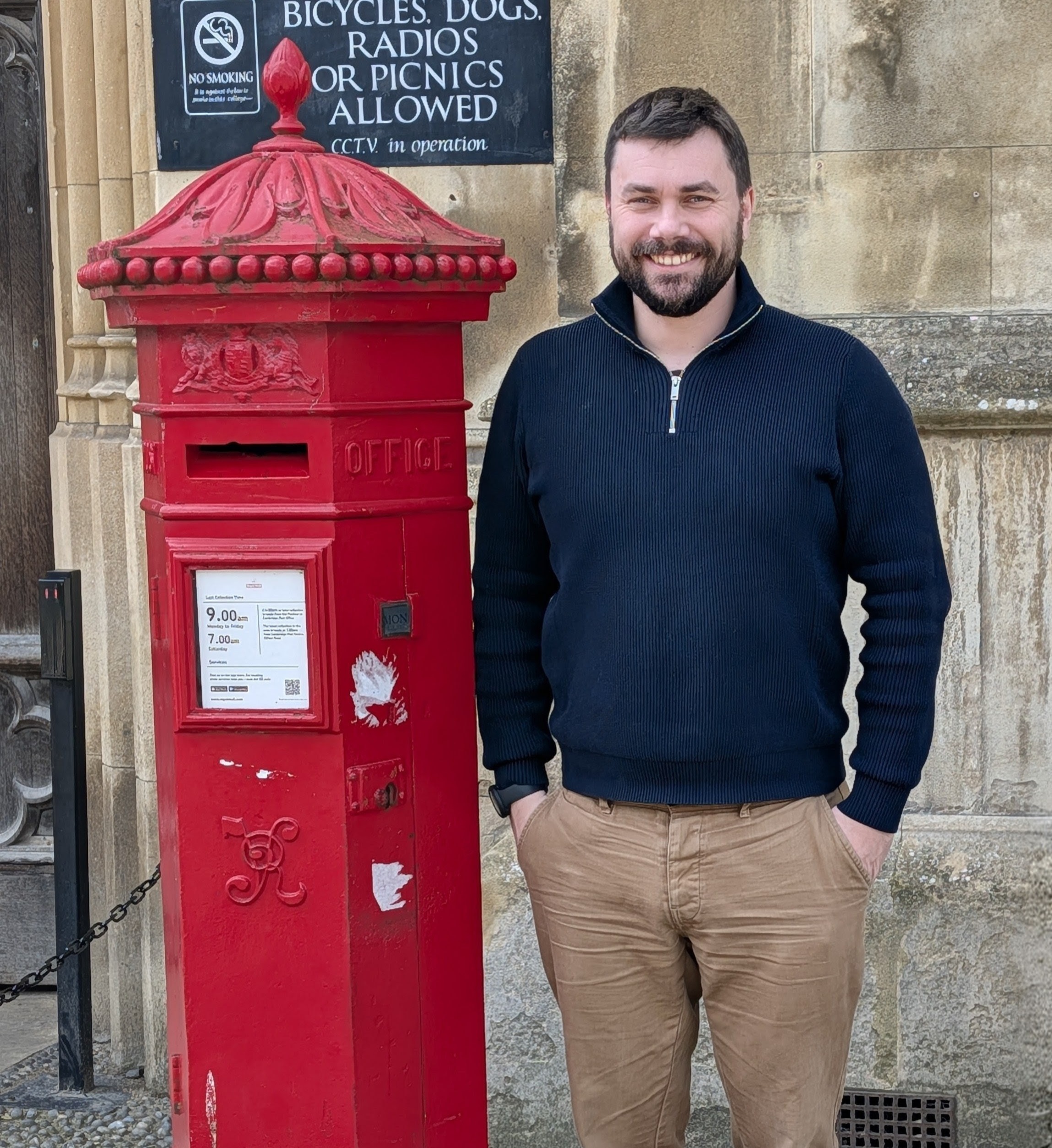
I'm Luke, the creator of PostboxMap.
After Queen Elizabeth II died, I started paying more attention to postboxes. I wondered how new ones with the King Charles cypher would appear and how the network would change over time.
While thinking about that I started noticing older postboxes everywhere. Victorian boxes, Edwardian boxes, George V boxes. Each one carries the royal cypher of the monarch who reigned when it was installed, which makes postboxes a visible timeline of British history.
That curiosity stuck.
I wanted a way to document the postboxes I found, see where others were located, and keep a record of them.
But when I looked for a tool to do this, I couldn't find one.
There were blog posts, private lists, and scattered records, but nothing designed to be used easily while walking around in the field.
So I built PostboxMap.
Why this project matters
A lot of postbox information is still quite fragmented.
It sits in private records, newsletters, or spreadsheets held by individuals. There has never really been a large public dataset with structured records and photographs in one place.
PostboxMap aims to change that.
The site allows people to map postboxes, upload photos, confirm cyphers and document the condition of boxes across the UK. Over time this creates a growing public record of the British postbox network.
Postboxes themselves have been part of everyday life since the 1850s, when roadside pillar boxes were first introduced in the Channel Islands and then across mainland Britain.
Today there are still more than 100,000 postboxes across the UK, many of them historic.
Despite that long history, there has never been a single public map of UK postboxes that is easy to use, includes photographs, and records key details such as the royal cypher, postbox type and location.
PostboxMap aims to create a searchable public dataset of postboxes that anyone can explore and contribute to.
That is the gap this project is trying to fill.
Public observations and classification
Postboxes are public street furniture. Their physical characteristics, such as the royal cypher, shape, aperture type and construction style, are visible to anyone standing in front of them.
PostboxMap records these publicly observable features based on photographs and field observations submitted by users.
Factual information about publicly visible objects, such as the existence of a particular design or type of postbox, cannot itself be restricted. However, publications, research papers and internal datasets produced by organisations remain their intellectual property.
For that reason PostboxMap does not reproduce any private datasets or internal records belonging to other organisations. Instead, it documents observations made independently in the field by contributors to the site.
PostboxMap therefore documents postboxes in the same way enthusiasts and researchers have always done: by observing, photographing and recording what is publicly visible.
What the project is
PostboxMap is a place for:
- postbox spotters
- local historians
- photographers
- collectors
- curious walkers
You can:
- find postboxes on a map
- search by monarch or cypher
- explore pillar boxes, wall boxes and lamp boxes
- upload photos of boxes you discover
- log the postboxes you have visited
Postboxes are small pieces of everyday history. Many have been standing on the same street corner for over a century.
Mapping them helps preserve that history.
Locations and the map
Elsewhere online you will sometimes see advice not to share precise postbox locations. The concern is that rare boxes could be damaged or stolen.
PostboxMap takes a different approach.
Postboxes are public street furniture designed to be used and found. Much of the location information already exists in various forms.
This map simply brings that information together so people can find postboxes, photograph them, and appreciate them.
If that trade-off does not work for you, you may prefer not to use the map or to share only general areas when posting elsewhere.
Get involved
There is a growing community behind the site.
People use PostboxMap to:
- record postboxes they have visited
- photograph rare boxes
- document different cyphers
- fill gaps in the map
- build tools using the API
Every photo and new location improves the map.
If you enjoy spotting postboxes, exploring local history, or documenting unusual street furniture, you are welcome to take part.
Researchers, historians and enthusiasts are also welcome to explore the data or contribute observations to help improve the map over time.
Join the community, explore the map, check the leaderboard, or read about scoring. Questions? Get in touch.
Every contribution helps build a clearer picture of the UK's postbox network.
Legal & policies
For our policies and legal information, see: